
KMOB to KAVL
Citation Bravo
Listing window:FromUntil
$8,381displayed estimateGoogle Analytics is optional. Accepting lets us measure page use and successful quote requests without contact details. Advertising storage remains off. Read our privacy policy.
Plan a trip involving Duke Field (KEGI) with airport location, runway references and nearby empty-leg listings. The direct carrier must confirm airport access and aircraft suitability for your itinerary.
KEGI - Duke Field, Crestview, Florida, United States
ICAO Code: KEGI · IATA Code: EGI
Identifier references: OurAirports · FAA NASR (September 3, 2026).
View on Google Maps →Showing the first 10 of 50 current listings
Citation Bravo

Hawker 400XP
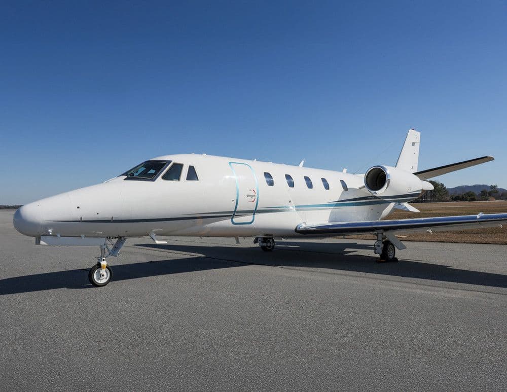
Citation Excel
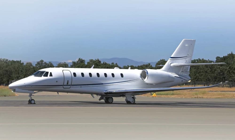
Citation Sovereign+
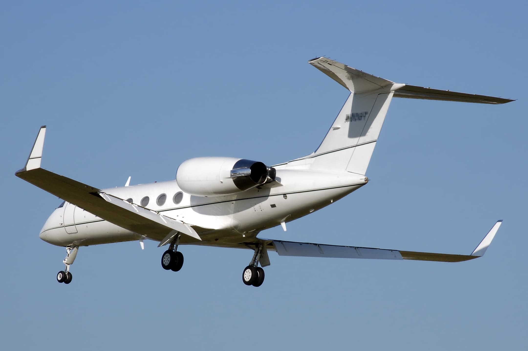
Gulfstream G-IVSP

Citation XLS
Challenger 604
Citation Excel

Phenom 300
Phenom 300
Airport Classification
Medium airport
Scheduled passenger service is not listed in the source; this does not determine charter access.
Longest Published Runway
8,025 ft
Reference length only; usable runway and aircraft performance must be confirmed for the mission.
Field Elevation
191 ft
Published reference elevation; verify current airport and performance information before departure.
FBO, Handling & Access
Confirm for this mission
Current suitability, handling, parking, fuel, and permissions require direct-carrier confirmation.
OurAirports identifies Duke Field (KEGI) as a medium airport in Crestview, Florida, United States, serving the Crestview area. Its source identifiers are EGI, KEGI. The source does not mark scheduled passenger service, which does not determine private-charter access.
For preliminary comparison, the same source lists a longest published runway of 8,025 feet and a field elevation of 191 feet. Those values are reference fields, not an operating approval. Before a trip is proposed, the direct air carrier must confirm airport status and access, usable runway length and surface, aircraft performance, payload, weather, current notices, parking, fuel, customs when applicable, and handling for the requested date.
For a useful review, provide the passenger count, baggage, pets, accessibility needs, preferred schedule, and exact ground destination. Jet Partners acts as an air charter broker and does not operate aircraft; a licensed direct air carrier controls and operates the flight. Aircraft, airport suitability, availability, operator, payment, change, and cancellation terms are confirmed in writing for the specific trip.
Reference coordinates, classification, elevation, and published runway length shown on this page come from OurAirports open data for source ident KEGI. Reference fields can change and do not confirm airport status, charter access, or operator acceptance.
Planning references: the FAA Chart Supplement search and NOTAM Search. These are research starting points, not confirmation that KEGI accepts charter operations. Current access and mission suitability require direct-carrier confirmation.
| Airport | Distance from KEGI | Published runway |
|---|---|---|
| Duke Field (KEGI)OurAirports record for KEGI | This airport | 8,025 ft |
| Bob Sikes Airport (KCEW)OurAirports record for KCEW | 8.9 mi | 8,006 ft |
| Destin-Fort Walton Beach Airport (KVPS)OurAirports record for KVPS | 11.7 mi | 12,004 ft |
| Eglin Auxiliary Field 6 Airport (KZ01)OurAirports record for KZ01 | 13.1 mi | 5,000 ft |
Distances are between airport coordinates, not driving distances or flight routes. Runway figures are source references, not usable landing distances. View the KEGI source record or read the methodology and download airport reference data.
For a destination guide, trip brief or article, reference this stable page and the underlying source. Include the date you accessed it.
Jet Partners. Duke Field (KEGI) airport planning reference. https://jetpartners.aero/airports/EGI#airport-reference. Reference data: OurAirports. Add your access date when citing.
Permanent link to this referenceRequest a trip-specific review involving Duke Field. Airport access, aircraft, operator, availability, payment, change, and cancellation terms are confirmed in writing for the mission.
.jpg "MarcelX42")